Visit

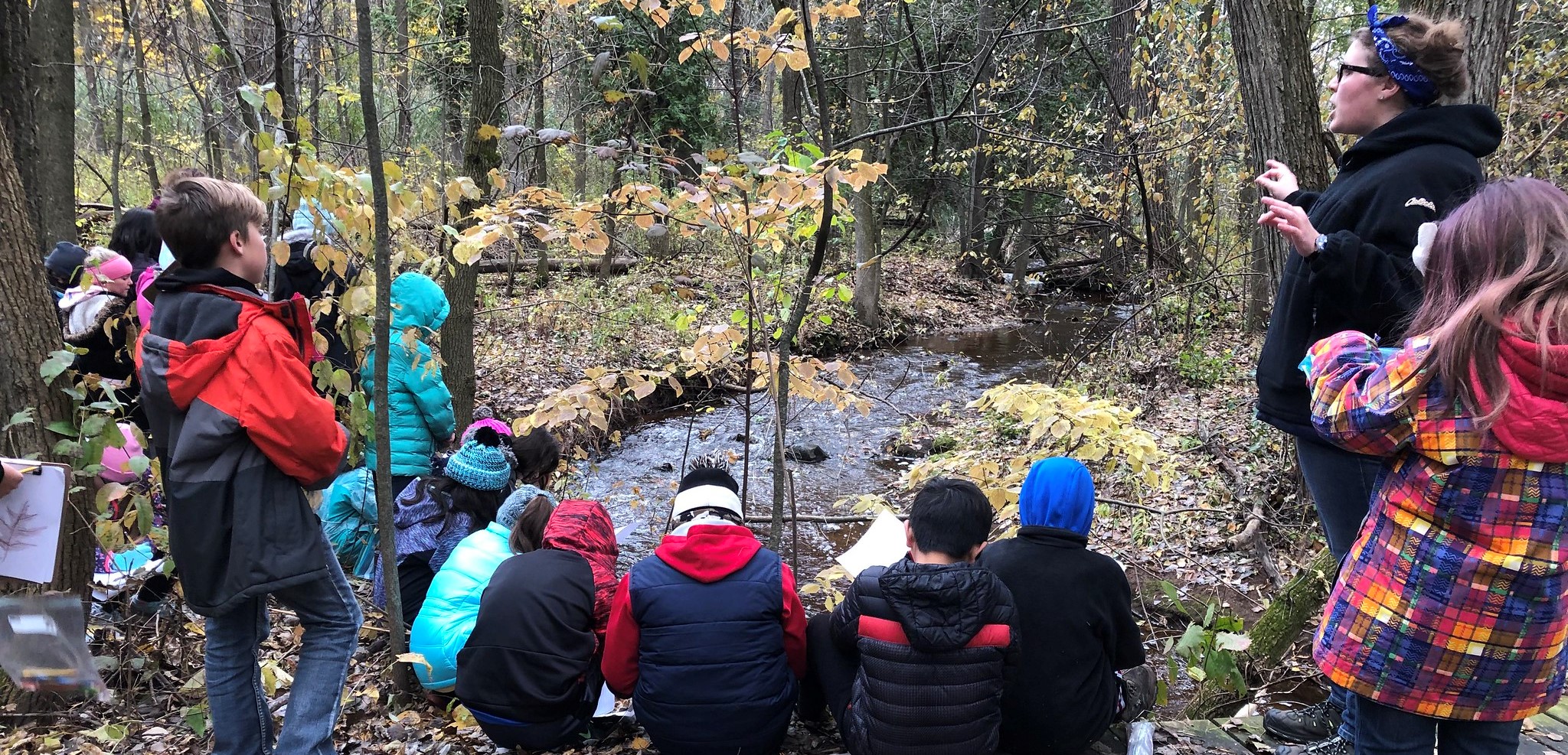
All of UW-Green Bay's natural areas are managed with the goal of providing habitat and promoting ecological processes. These natural areas are also vital to educational programming by providing a living laboratory not only for biological sciences, but also for art, english, physical education and more. UWGB natural areas are important for student and faculty research.
Some of the natural areas have trails where the public are welcome to hike and view wildlife. See our public use table below.
Most of the natural areas are open for hunting of some type. See our Hunting page for more information.
| Public uses of UW Green Bay natural areas | ||||||
|---|---|---|---|---|---|---|
| Arboretum | Kingfisher Farm | Peninsula Sanctuary | Point Sable | Toft Point | Wequiock Creek | |
| Hiking | on trail | not allowed | with permission | with permission | on trails | on certain areas |
| Dog walking | dogs not allowed | |||||
| Biking | on gravel paths only | biking not allowed | ||||
| Wildlife & Plant Viewing | From trails | not allowed | with permission | with permission | from trails | on certain areas |
| Hunting | with permission | |||||
Cofrin Arboretum
There are 5 approved parking areas around the arboretum trails, Lambeau Cottage, next to the UREC Outdoor Adventure Center, at the end of Crossway Road, the lot on Bay Settlement Road, and the UREC parking lot near the Intramural Soccer Field on Circle Drive. For your and others' safety, please do not park on the side of Circle Drive Road.
Many research projects are occuring simultaneously in the arboretum, as well lab meetings and other biological monitoring work. Please respect students, researchers, equipment and markings.
Directions
From the intersection of State Highway 57 and County A (Nicolet Drive) in Green Bay, go north on County A (Nicolet Drive) approximately 0.4 mile. Turn east onto Circle Drive and travel about 1.5 miles, the UREC parking area will be on the right, just past the intersection with Leon Bond Drive.
Kingfisher Farm
Kingfisher Farm is strictly a research area and public use is not allowed.
Peninsula Sanctuary
While hiking or wildlife viewing are technically allowed, there is no public parking at Peninsula Sanctuary. Since it is located on a busy County highway, parking alongside the road would not be acceptable.
Point au Sable
While hiking or wildlife viewing are technically allowed, there is no public parking at Point au Sable. There are no maintained trails at this natural area. Much of the natural area that is adjacent to a town road is hardwood swamp and emergent wetland, which are difficult to navigate on foot; and these communities are fragile and susceptible to harm by invasive species. For those who still would like to venture in, in hopes of seeing certain birds and wildlife, we ask that you complete our permit application.
Toft Point
Toft Point is a State Natural Area that contains rare species and natural communities. There is very limited parking here; if the parking lot is full, please be prepared to leave and return another time. Please do not attempt to park along side of the road into the parking area or further off the parking area footprint. This causes damage and could result in closure of parking access. If you have multiple vehicles in your group, please carpool. Parking is also available at the Baileys Harbor Town Hall or the Baileys Harbor Ridges Park.
Directions
From the intersection of State Highway 57 and Ridges Road on the north end of Baileys Harbor, go east on Ridges Road about 1.4 miles, then north on an access lane at fire number 8380 to a parking area.
Toft Point map
Wequiock Creek
Wequiock Creek Natural Area is located just upstream of the Point au Sable Natural Area, along Nicolet Drive, and about a mile down stream from Wequiock Falls County Park. A parking area is located at the end of Circle Ridge Road. Public hiking trails will be installed during summer, 2023.
Hunting for deer is allowed by permit only; see our Hunting page for more information.
The driveway on the north side of the creek is meant for University and contractor access only.
Wequiock Creek map.